Oldcircle/geo-sleuth — 1,233 Stars
Geo Sleuth compares landscape clues. A look at one author-published railway case, not a local geolocation test or general accuracy benchmark.
Watch Episode
About This Repo#
Oldcircle/geo-sleuth — 1,233 ⭐ | Python
The repository describes an agent skill for photo geolocation using OpenStreetMap geometry, elevation skylines, satellite imagery and street view. Its README lists support for Claude Code, Codex, Cursor, Gemini CLI, OpenCode and GitHub Copilot.
What This Short Shows#
These are authentic README captures and the author’s published railway-case figures: pier measurements, candidate skyline overlays and satellite evidence. They are multiple evidence views of one published case, not independent tests or a general accuracy benchmark. We did not install or run a local geolocation test, and did not find independent second-case examples in the inspected source.
The quick-start section illustrates skill installation and a setup check; showing those instructions does not establish that we executed them. Use only photos you own or have permission to analyze. This short does not demonstrate locating a private person.
Source: published railway case and quick start, inspected at repository commit 88b64c061bb7a2698568e8f3f6621db2ae088b2f. Map attribution: OpenStreetMap contributors (ODbL), AWS Terrain Tiles; repository license: MIT.
Narration#
A landscape photo with no signposts can still leave clues. Geo Sleuth compares map geometry and mountain skylines. Its published railway case shows pier measurements, candidate overlays, and satellite evidence—not a test we ran. Install the skill, check setup, and use only photos you own or have permission to analyze.
Watch#
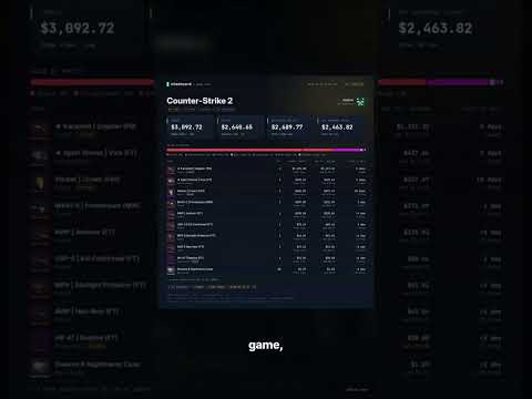
Stashcard: Steam Inventory Report Cards
Explore estimated Steam inventory values with shareable report cards and market comparisons.

horizon-rust/horizon — an unofficial Rust Minecraft client
An unofficial Rust reimplementation of Minecraft Java Edition.

getopenscreen/openscreen — 5,978 Stars
Free open-source desktop screen recorder and editor.